Australian ski fields are in for a warm spring week while the North Island of New Zealand has surpassed the three metre base mark. The weekly snow forecast from our meteorologist, Alex Zadnik.
Australia
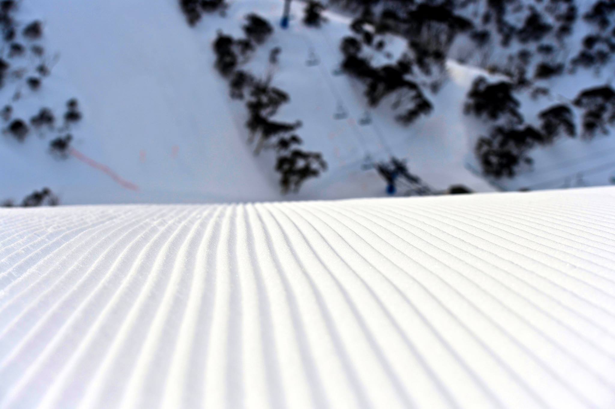
Spring is definitely in the air through the mountains, with sunny skies and warmer days. The snow base is still near two metres for the higher runs of Hotham, Falls Creek, Thredbo and Perisher, so there is some good skiing and boarding to be had. The groomers are definitely the safest bet each morning until the sunnier slopes soften up each afternoon.
After nice weather through the first half of this week, we are going to see conditions deteriorate significantly on Thursday. Strong to gale-force northerly winds are set to develop ahead of an approaching front, which will also bring well above zero temperatures to all the resorts. Rain periods are possible during the day and may become heavier through the afternoon and evening, with around 10-20mm expected.
Temperatures will drop into Friday morning, but the precipitation will also be on the wane, so the best that can be hoped for is a couple of centimetres of snow about the higher slopes. Winds will ease right back on Friday, but conditions are likely to still be damp and slow underfoot.
A high pressure system should bring lighter winds and clearer skies through Friday night, so below freezing temperatures should return for the early hours of Saturday morning. Therefore Saturday should be a little firmer on the groomers and visibility should be okay with partly cloudy skies.
Both wind and cloud may increase during Saturday afternoon with the approach of a weak cold front from the west. This front will slip south of the Victorian and NSW resorts on Sunday, so it doesn’t look to be a helpful one in terms of snow.
Some cloud may linger on Sunday and light drizzle is possible for a brief period but conditions should be okay for weekend skiers and boarders. Saturday is probably the better bet for day trippers.
The first half of next week is going to see a real spike in temperatures, with a warm northerly airflow developing through Monday and Tuesday. Canberra looks like cracking the 20 degree mark for the first time this year, which equates to tops of around 10 degrees at 1500 metres above sea level.
Monday may be the day to break out the shorts, t-shirts and sunglasses, with lighter winds for most of the day. Just don’t stack it in shaded icy patches. Tuesday may see even higher temperatures than Monday, but strong to gale force winds will mean it won’t feel as warm on the hill.
These warm and windy conditions will also contribute to a significant decline in snow depths, off the back of Thursday’s rain and Monday’s warmth.
Colder air and snow should return mid next week, but it is too early to be sure as to whether this will restore some of the losses from previous days.
New Zealand
The North Island is feeling the brunt of a low pressure system at present, with strong to gale force winds and heavy snow falls for Ruapehu. As of Wednesday morning, snow depths had surpassed 3 metres on the upper mountain. However, due to the ongoing blizzard conditions, both Turoa and Whakapapa remained closed on Wednesday.
These conditions are in stark contrast to the Queenstown and Wanaka areas of the South Island, where a high pressure system has been keeping skies mostly clear, whilst providing light winds.
There will be little change in the weather pattern for the remainder of the week, with mostly clear skies continuing for Treble Cone, Cardrona, Coronet Peak and the Remarkables. Ruapehu will continue to see challenging weather due to the low pressure system, so it may be difficult to take advantage of the 50 centimetre falls.
The weekend is probably the best time to plan a trip to Ruapehu as a developing high brings an easing or winds and clearing of skies. For the South Island, weather conditions also look reasonable, although a weakening cold front may brings some cloud to the Wanaka and Queenstown areas during Saturday afternoon.
Some light snowfalls are possible from late Saturday into Sunday, but probably not much more than a centimetre or two.
The first half of next week looks like seeing a significant warming trend, especially Tuesday into Wednesday. A strengthening northwesterly airflow looks like carrying warm air across both islands, pushing temperatures well above average. Therefore softer spring like skiing conditions are expected through this period, whilst some reduction in snow cover can be expected.


