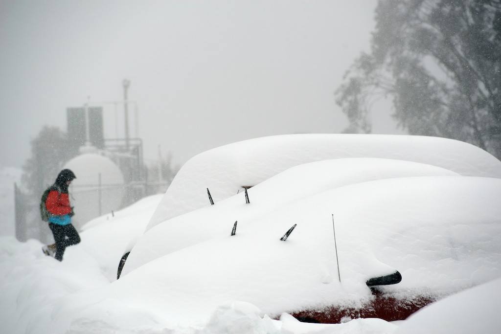
The weather gods are lining up to dump up to 80 centimetres of snow on the Aussie ski fields in the next week to rival the storm hitting New Zealand this week.
Meteorologist, Jane Bunn, from JanesWeather.com reports two systems.
The first starts today with rain likely, “changing to snow above 1800 metres early Friday afternoon, lowering to 1500 metres late afternoon, and to 1000 metres later at night. Then the system moves on quickly, so its the chance of snow showers on Saturday, down to 1000 metres, as winds moderate. It should bring 15 to 30 cm up high, and 10 to 15 cm at mid-levels.
We take a break on Sunday under a high. Its dry with lighter winds.
The next system quickly approaches, and there is limited pre-frontal as it doesn’t have as much time to warm up. It starts with a strong front on Monday, and we may see wave after wave as a low passes just to Victoria’s south, heading out to the Tasman Sea on Wednesday.
Its wrap around, and a westerly airflow, bringing 30 to 50 cm of snow from Monday to Wednesday, possibly more. The next system should arrive next Thursday. So, that’s 40 to 80 cm in the next 7 days.”
Thanks Jane, we’ll take that.
Pete Taylor over at Snowatch.com.au is more conservative with up to 36 centimetres between Friday and Tuesday. But he has yet to extend the forecast through to the end of next week.

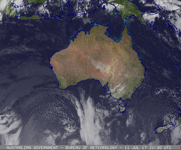
The Bureau of Meteorology shows a strong system heading towards south east Australia and is calling for snow showers from Friday through to Tuesday in Victoria.

Update: 24 hours till the storm hits Australia, how much can we now expect?
Read more: Significant snowstorm hits New Zealand


