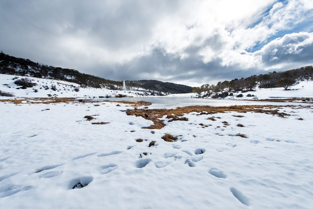
SnowsBest meteorologist, Alex Zadnik, reveals the snow forecast week ahead for spring skiing.
In short, a small top of snow for the Victorian resorts on Saturday ahead of a sunny Sunday. And in New Zealand, Ruapehu on the North Island has a great few days of spring weather coming up.
Australia
Warm spring temperatures have been with us over the past week, with temperatures peaking at around 9 degrees at 1500 metre elevations on Tuesday. Even Thredbo Top Station at 1957m above sea level climbed above 7 degrees, as warm winds from the north strengthened through the day. Gusts of over 110km were recorded at Thredbo on Tuesday evening with the approach of a cold front from the west.
This cold front moved through overnight, so cooler temperatures can be expected through Wednesday. This will slow the recent decline in snow depths, which have dropped around 15% over the past week. Hotham has seen snow depths decline from around 200cm last week to 170cm this morning.
Lighter winds and mostly clear skies should help temperatures to dip below zero during Wednesday night, so conditions are likely to be icy on Thursday morning away from the groomed runs, Things should soften up through the day though, with mostly sunny skies and above zero day time temperatures.
Another warm day is on the way for Friday, with well above zero temperatures and strengthening northwest winds ahead of a cold front. The morning will probably offer the best conditions (again on the groomed runs), before winds approach gale-force later in the day.
The front will sweep across Victoria during Saturday, bring colder air and 5-10 centimetre of snow to resorts in that state. For NSW, the front will only make a glancing blow and low moisture levels will restrict snow falls to the 1-5 centimetre range at best.
Southwest winds will remain quite strong during Saturday but keen skiers and boarders might still find some nice conditions given the fresh falls. Sunday will be a more pleasant day though, with fairly light winds and mostly sunny skies.
Warm conditions will return for Monday and Tuesday, while winds will also strengthen through this period with the approach of a cold front from the west. At this stage it looks like this front will weaken and probably deliver some light to moderate rain rather than snow.
There are currently no significant snow-bearing weather systems on the cards for next week, so it’s probably worth getting to the mountains this weekend while snow depths are still healthy.
New Zealand
A cold front brought cooler air to both the North and South Islands on Tuesday, but little in the way of snow falls. However, Ruapehu on the North Island still has a healthy base with more than 3 metres at the top and 1.6 metres on the lower runs of Turuoa and Whakapapa. Depths through the Southern Alps are receding as we move into spring, but are still well over the 1.5 metre mark on the higher runs of Cardrona and Treble Cone.
Today (Wednesday 12th) a high is helping to keep skies mostly clear, so it should be a nice day for skiing and boarding at most of New Zealand’s ski fields. Winds may pick up later in the day over the South Island, so the morning is probably going to offer the best conditions for those around Queenstown and Wanaka.
A weakening cold front will cross the South Island on Thursday and looks like generating rain for Coronet Peak, the Remarkables, Cardrona and Treble Cone, although snow is possible about the higher peaks. Conditions will remain fairly settled at Ruapehu, as the high pressure system lingers over the North Island.
There will be little change in conditions for Ruapehu through Friday and Saturday, apart from a gradual warming trend. This warming trend will continue into Sunday as northwesterly winds freshen ahead of a cold front.
The South Island will see warmer than average conditions persist through Friday and partly cloudy skies. Winds will be moderate to fresh from the northwest. These northwest winds will strengthen on Saturday due to the approach of front from the west and some rain is possible. Temperatures are likely to be well above zero, so snow is unlikely.
Rain and winds will increase further on Sunday, so it’s looking like a good rest day from skiing and boarding. Winds are likely to reach gale-force and a period of heavy rain is likely before colder air and snow arrives late in the day.
Cardrona, the Remarkables and Treble Cone may pick up 5-10 centimetres of fresh snow into Monday morning in the wake of the front, so this is looking like a better day to hit the South Island slopes given winds will also be on the ease. Ruapehu will probably see a mix of rain and snow on Monday as the front moves through.
There are no major snow bearing systems on the cards for the remainder of next week and a warming trend will probably take place as northwesterly airflow becomes established.


