Gamblers will love the snow forecast ahead which could go either way as we head towards Saturday and Sunday when the storm settles in for Australia’s Snowy Mountains and Monday as the potential snowfall day across the ditch in New Zealand.
SnowsBest meteorologist, Alex Zadnik, lays his cards on the table with this week’s forecast – will it be a Full Flush out or an Ace powder day?
Read on, gambling folk, read on.
Australia – snow (and rain) ahead, but how much?
The past 24 hours has seen snow fall to sea level in parts of Tasmania and southern Victoria, with an airmass of Antarctic origin being slung across the region by a low pressure system. There was snow in bayside suburbs of Melbourne last night and in Launceston, Tasmania.
This system brought 30cm of fresh powder snow to Mount Baw Baw and 12cm to Mount Buller. Lower totals occurred at Hotham, Falls Creek and the NSW resorts, although given the cold temperatures of the airmass, what did fall was quality dry powder.
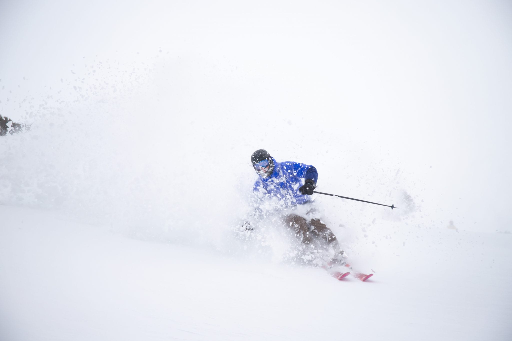
Further snow showers are possible through Wednesday and the temperature will remain below zero all day, keeping the snow light and dry (see Thredbo pic above).
Thursday will offer a break in the weather, with improved visibility for the most part and an easing of winds. Make the most of this day before conditions deteriorate on Friday and the weekend.
A second, large low pressure system will move across NSW on Friday and bring heavy precipitation to Thredbo, Perisher, Charlotte Pass, Falls Creek and Hotham.
Up to a metre of snow is still possible for higher parts of Thredbo, Charlotte Pass and Perisher, but heavy rain is a risk on the lower slopes.
A trough line associated with the low pressure system will focus heavy precipitation into southeastern NSW or eastern Victoria (or both) during Saturday and Sunday. Temperatures will again be borderline for snow at the lower levels of the resorts, but higher parts could see heavy snowfall to boost the existing base. The precipitation will be arriving from the east, which is not an especially common direction, but something that was experienced in mid July of this year.
Friday to Sunday is a tricky period with the potential for very heavy precipitation at times but the temperature will be on a knife’s edge for snow below the 1600 metre level.
Best case/worst case – for snow and rain
The best case scenario is for over a metre of fresh snow for higher parts of Thredbo and Perisher, and some snow for the lower runs. The worst case scenario is a washout from mid mountain downwards.
Regardless, it is probably worth waiting for next week to ski and board, as visibility will be poor on the weekend and you may end up soaked.
There should be a rapid improvement in the weather during Monday and Tuesday, as a high pressure system becomes established over Victoria and NSW. If you are planning to ski or board, these look like the best days to get out there, particularly if the best case scenario of heavy snowfall occurs on the week.
A cold front may generate rain mid next week as it approaches Victoria and NSW, but this could tend to snow later in the week. More on this in the next update.
New Zealand – ‘moist’ conditions ahead
Rain will develop for the South Island on Thursday with the approach of a low pressure system from the Tasman Sea. This rain should tend to snow above 1400m later in the day for the Wanaka and Queenstown ski fields, but no large totals are anticipated.
It will be a similar story on the North Island, with Ruapehu seeing rain showers develop later Thursday before heavier snow showers for the upper slopes on Friday. Mt Hutt will largely be sheltered from the precipitation on these days.
Cold polar air will sweep across New Zealand between Friday and Saturday, although low moisture levels will limit weekend snow totals to less than 10cm in general.
Monday is looking like a far more interesting day. The South Island should see a surge of bitterly cold Antarctic air arrive through the day, along with a dump of fresh powder for the Remarkables, Coronet Peak, Treble Cone and Cardrona.
Tuesday may be a great day for these mountains with easing winds and fresh snow.
There is the potential for severe weather across the North Island on Monday and Tuesday, as this Antarctic airmass collides with a low pressure system over the Tasman Sea. This interaction should cause the low to deepen and deliver heavy precipitation to Ruapehu. This may fall as snow on the upper slopes but rain is likely for the lower slopes of Turoa and Whakapapa. Gale-force winds are also a risk, particularly into Tuesday.
An easing of weather conditions is likely for New Zealand mid week, before the approach of another cold front later in the week. This front may deliver another round of fresh snow to the Southern Alps around Thursday 13th August, but more on this in next week’s update.
Please help SnowsBest survive the 2020 winter and remain your independent source of snow news this winter with a “Covid contribution“, from as little as $1, so we can continue to deliver the news and content you value in a season when we need each other most. Contribute here.


