We’re heading into the pointy end of the season, not to be confused with the pointy end of the plane where everyone wants to be lying flat with champagne and canapés.
Though in years gone by this end of the season has oft produced some of the best snow storms of the winter. Not this week, though. Unless you’re in New Zealand.
There is snow on the way but it’s more premium economy than business class. Better than down the back but not quite up the front. Thinks of last week’s mega snowstorm that dumped over a metre as first class then work backwards.
Our meteorologist, Alex Zadnik, has the low down on your seat for the week ahead in Australia and New Zealand. You won’t need the exit doors just yet but you will need to buckle up for a wild and windy ride.
Here’s Zadnik with his weekly outlook.
What’s up, Australia?
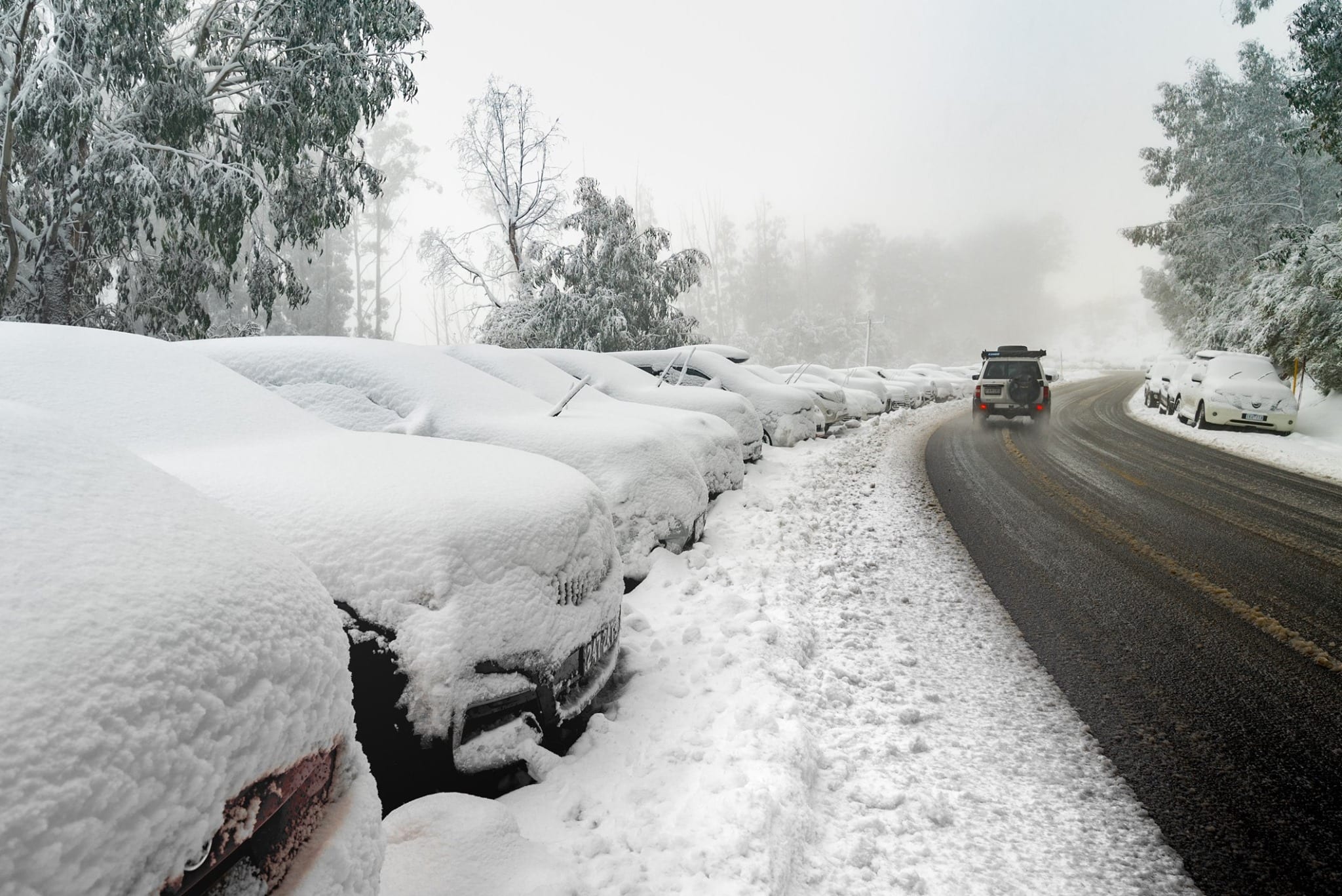
A cold front delivered a healthy top up of fresh snow to the resorts on Sunday night, with around 20cm falling. This created great conditions for skiing and boarding on Monday. The mid-levels of the atmosphere warmed through Tuesday afternoon and evening, bringing a mix of light drizzle, freezing rain and wet snow to the resorts.
Colder air will make a return today as the next cold front glances eastern Victoria and southeastern New South Wales.
Victorian resorts may pick up 5cm or so of fresh snow through Wednesday and Thursday morning as the front moves through, while higher falls of 5-15cm are possible for Thredbo and Perisher.
Strong to gale-force winds will develop during Wednesday and persist into Thursday morning, so conditions are likely to be challenging out on the slopes.
A gradual improvement in conditions is possible through Thursday afternoon as winds ease.
Friday is looking like a better day for skiing and boarding with lighter winds in the morning and clearer skies due to an approaching. These winds may pick up in strength through the Victorian resorts later in the day as a cold front approaches Tasmania.
Saturday looks like a mild day with moderate to fresh winds from the west as the front slides through to the south. Visibility should be reasonable with partly cloudy skies.
The tail end of the front may bring light to moderate snowfalls to the resorts through Sunday afternoon and evening, although there is still some divergence in the leading numerical weather prediction models as to how this will pan out.
A high will probably bring settled conditions to the resorts from Monday through Wednesday, so it should be a good few days for getting out on the slopes. The next cold front looks like arriving on Thursday 28th August, but at this stage it doesn’t look like being a major snow-bearing system.
Check the full detailed 7 day forecasts here.
New Zealand snow ahead
The majority of New Zealand’s ski fields have a healthy base of snow after frequent fronts through August and there is more on the way in the coming days. A cold front is currently crossing the nation and will bring light snowfalls to the South Island today, with heavier falls for Ruapehu on the North Island.
A low pressure system and associated cold front will quickly follow this first system, bringing a renewal in snow falls to New Zealand through Wednesday evening, Thursday and Friday. Winds will reach gale-force across Ruapehu on Thursday, and probably persist into Friday morning, which may impact operations.
The winds won’t be as severe on the South Island, so it should be possible to take advantage of the fresh snow falls at the Queenstown and Wanaka resorts.
Around 15-30cm of snow is likely for the South Island resorts between today and Friday night.
The upper slopes of Ruapehu will probably see close to 100cm through this period, but as mentioned, wind conditions may limit skiing and boarding opportunities. Winds may moderate enough on Saturday to ski Turoa and Whakapapa, but will still be strong at times.
The Queenstown and Wanaka resorts may see reasonable conditions on Saturday morning, but westerly winds are expected to strengthen during the day, so get on the slopes early if you can.
A cold front will move across the South Island during Sunday, which may bring another 5-15cm of snow to The Remarkables, Coronet Peak, Cardrona and Treble Cone.
Winds should also back off for these areas through the afternoon. Ruapehu will probably still be subject to stronger winds in the prefrontal flow, so check conditions closer to the day.
The start of next week looks like remaining cold across New Zealand, while westerly winds should ease for Monday and Tuesday. These days look good for taking advantage of the fresh snow. A briefing warming is possible on Wednesday 28th August ahead of a front.
Fresh snow falls are likely on Thursday 29th as this front moves through, although it is a little too early to be sure of totals. Keep an eye on the Snowsbest 7-day totals as we get closer to this date.
Check the full 7 day detailed forecasts here.


