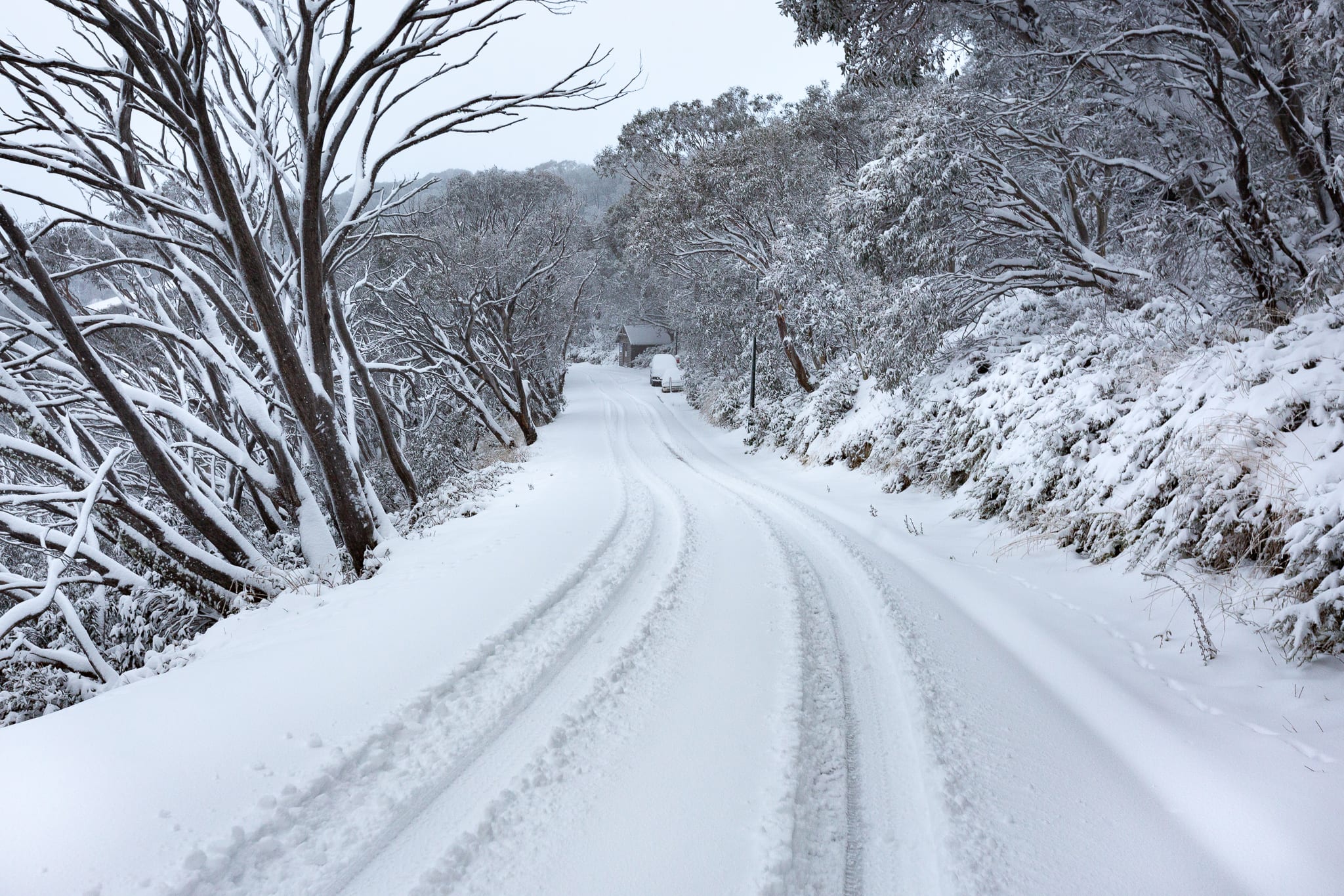
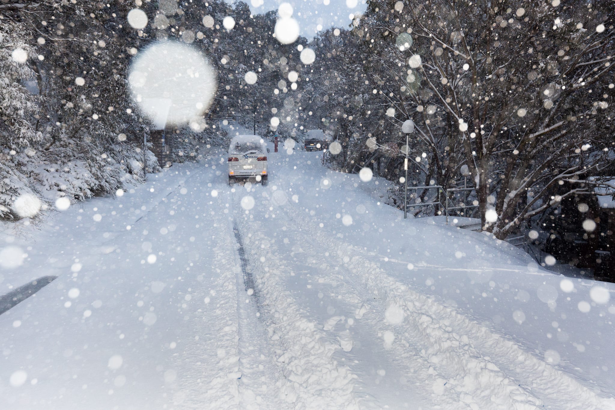
Wow. What a week. Over 75 centimetres of snow fell from the Australian alpine skies dumping blissful carnage upon our beloved ski resorts.
Mt Buller announced an early opening and free skiing and boarding, Perisher announced an even earlier opening and then Selwyn swept in and opened on Thursday with free skiing until this Sunday. Well played.
This week we saw the coldest day in May (10.6 degrees) for Melbourne since 2000 and an almost exact weather replica for the alpine resorts as that record breaking snowfall year. Hotham reported 80 centimetres in 2000 and this year they’ve called 65 centimetres and yet the chatter continues.
Will we repeat the season of 2000? Will 2019 be the new 2000 like May is the new July? We asked our meteorologist, Alex Zadnik, for his take.
“The frontal pattern we are seeing at present is more common of mid to late winter and early spring, but can occur in May” explains Zadnik.
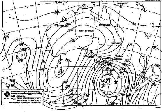
“The weather chart from May 28 in 2000 is broadly similar to what we saw develop this week, with a high near Western Australia ridging strongly southwards towards Antarctica, which is supported the advection (northward movement) of very cold air from the Southern Ocean towards Australia, with help from a low pressure system near Tasmania. This type of weather pattern is ideal for snowfalls to low levels and happens roughly once every few winters (with varying intensity in terms of the coldness of the airmass).”
Ok, but tell us will it continue, are we in for the three metres plus in resorts during 2000?
“This season our climate diver indicators are leaning more towards the drier El Nino, which more often than not means lower than average winter and spring precipitation” says Zadnik.
But what of Lake Eyre?
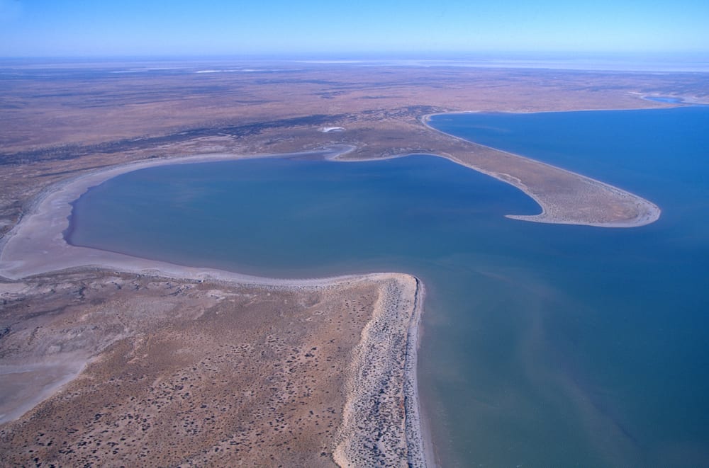
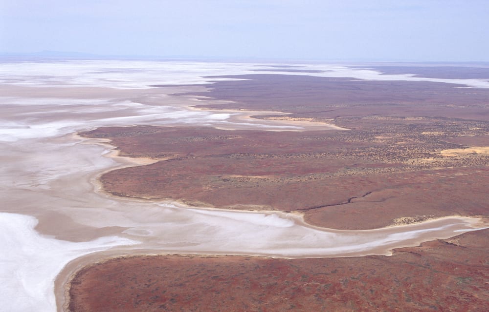
We keep hearing about the Lake Eyre effect and the belief that when the salt lake of Eyre is full then the season will be epic and, guess what, Eyre is full. The lake is the lowest natural point in Australia and actually sits below sea level. When it fills, like it has this year, it is the largest lake in the country. How large? 9500 square kilometers.
- Lake Eyre, full.
- Lake Eyre, not so full.
In 1974 Lake Eyre was full and snow depths were deep with 286 centimetres recorded at Spencers Creek. Many believe that Lake Eyre has a similar effect as Utah’s salt lakes do to Cottonwood Canyon’s resorts. Sadly, Zadnik doesn’t agree on the correlation.
“Lake Eyre is unlikely to play any significant role in winter snowfall. Climate drivers like La Nina and El Nino are of greater importance” says Zadnik, the bearer of bad news. “In 1974 the dominant reason for above average precipitation over the ski resorts was a strong La Nina pattern that was in place from 1973 to 1976. 1974 was actually Australia’s wettest year on record.
This year is a rare year where there is water in the Lake with a pattern that is closer to the drier El Nino phase of the El Nino Southern Oscillation. No reasonable conclusions can be drawn from water in Lake Eyre to the snow outlook.
It is also worth noting that the moisture source for this week’s frontal system was predominately from over the Southern Ocean, meaning no interaction with Lake Eyre.”
You have been schooled.
Want more? Watch this space for Zadnik’s weekly snow forecast blogs starting on Wednesday when he reveals his outlook for the season ahead.
Need Snow Forecasts? You’ll find them here for Australia and New Zealand resorts.
Want to chat with other snow obsessed? Join our Facebook groups.
